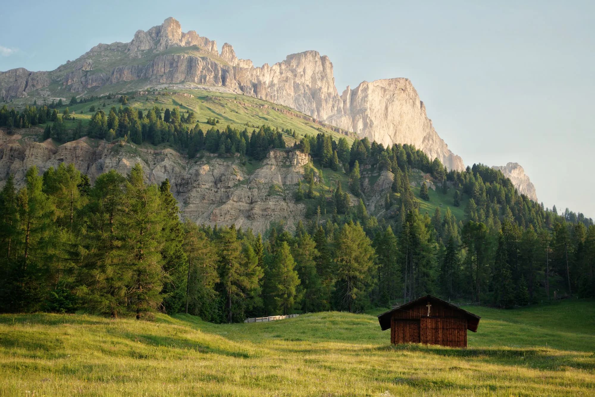
The Dolomites · itinerary
7-day Dolomites itinerary
A one-week route that pairs the western and eastern Dolomites without making every day a transfer day.
Read the itinerary
Destination / IT
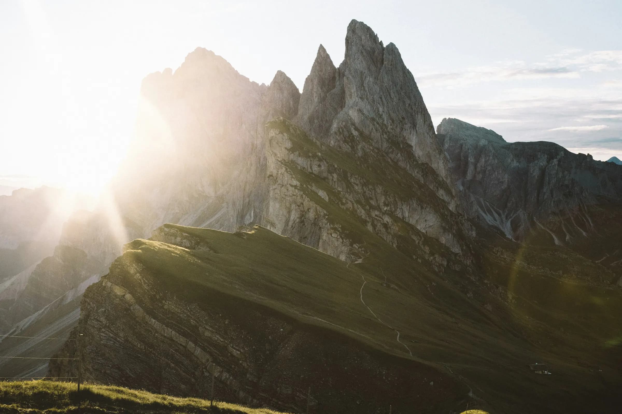
Limestone towers and rifugi
Destination guide
46.54° N
11.87° E
Plan a Dolomites trip across Val Gardena, Cortina and the high passes, with practical advice on hiking, huts, lifts, transport and weather.
When to go
July to September is the main period for hiking and mountain huts. June and October can also work, but some lifts and huts have shorter opening periods and early snow is possible.
Cortina d’Ampezzo averages. Conditions are colder and more exposed on high trails. Temperatures show the average daytime high and are planning estimates, not a forecast.
Book the useful parts
Featured itinerary
The Dolomites · itinerary
A one-week route that pairs the western and eastern Dolomites without making every day a transfer day.
Read the itineraryPeakd Google Map
Our restaurants, stays, trailheads, viewpoints and useful stops, saved in one Google Map and ready on your phone.
The Dolomites map
£25
One ready-to-use destination map. Purchase once and receive the access link and setup instructions by email.
Practical information
The Dolomites · guide
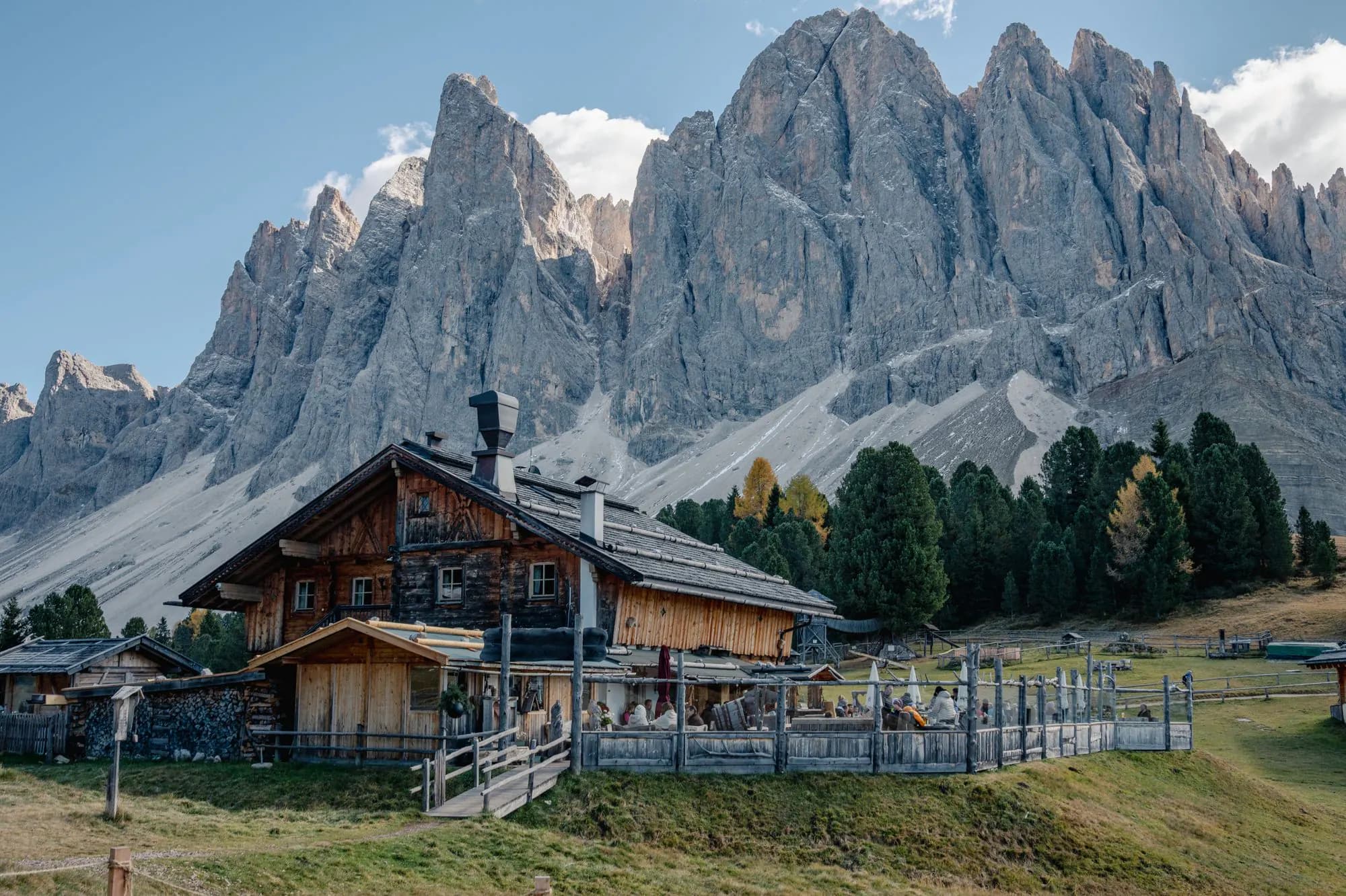
Choose your Dolomites travel dates around trail access, lift schedules, summer storms and crowd levels.
Read the guide