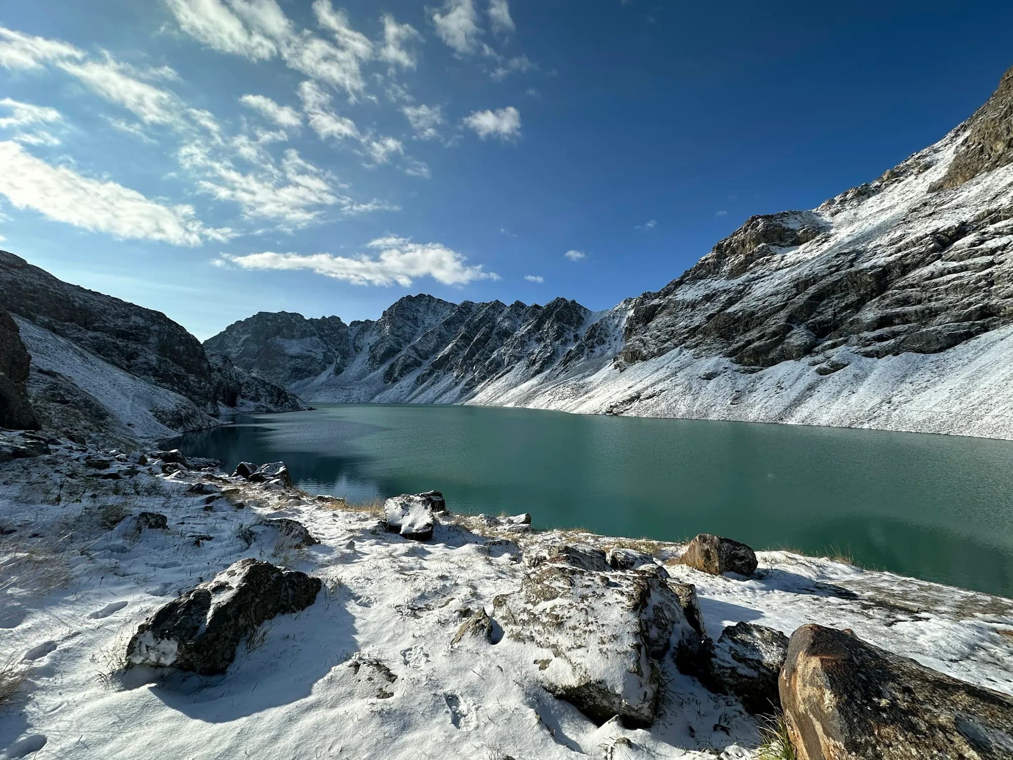
Kyrgyzstan · itinerary
10-day Kyrgyzstan itinerary
A clear day-by-day route through Kyrgyzstan's high lakes, yurt camps and eastern mountain valleys.
Read the itinerary
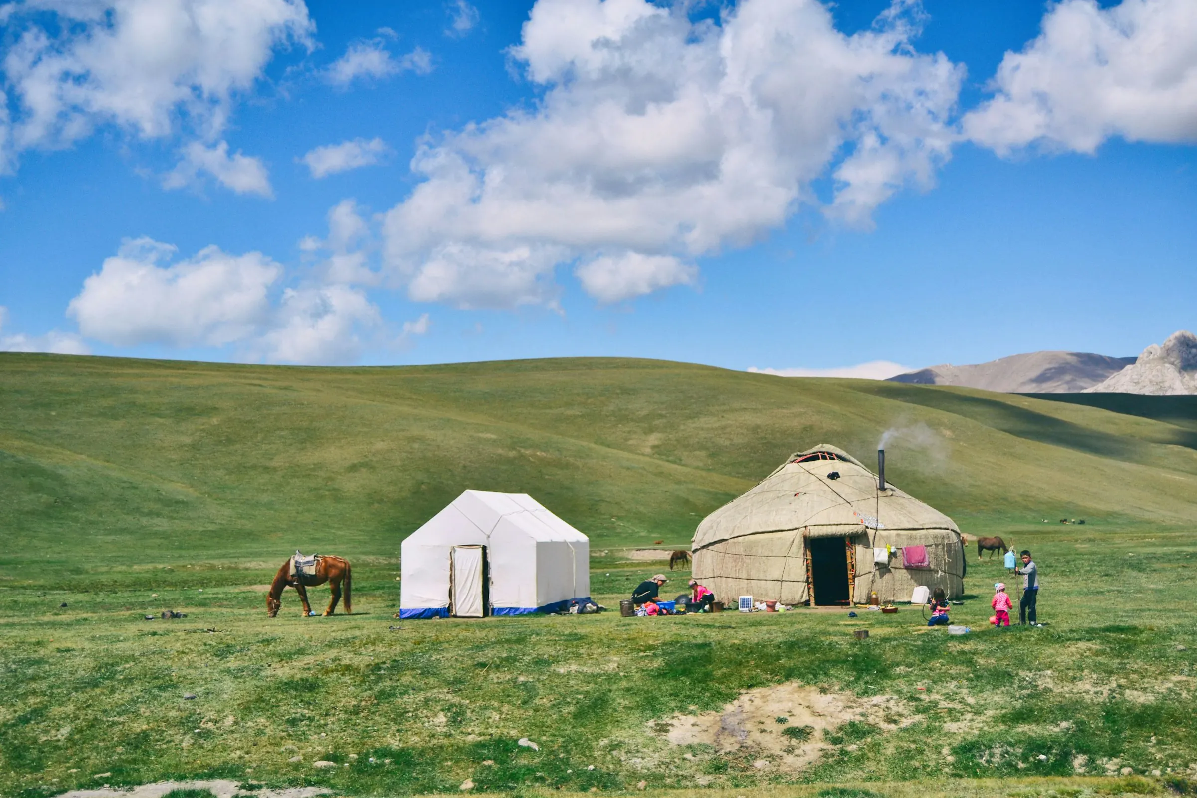
Destination / KG
High passes and open roads
Destination guide
41.20° N
74.77° E
Plan a Kyrgyzstan trip through alpine lakes, yurt camps and the Tian Shan, with practical advice on routes, drivers, seasons and mountain travel.
When to go
June to September offers the most reliable conditions for road trips and high mountain routes. Spring and autumn are useful for lower-altitude travel, but snow can close mountain passes.
Bishkek averages. Mountain temperatures are lower and conditions change quickly at altitude. Temperatures show the average daytime high and are planning estimates, not a forecast.
Book the useful parts
Featured itinerary
Kyrgyzstan · itinerary
A clear day-by-day route through Kyrgyzstan's high lakes, yurt camps and eastern mountain valleys.
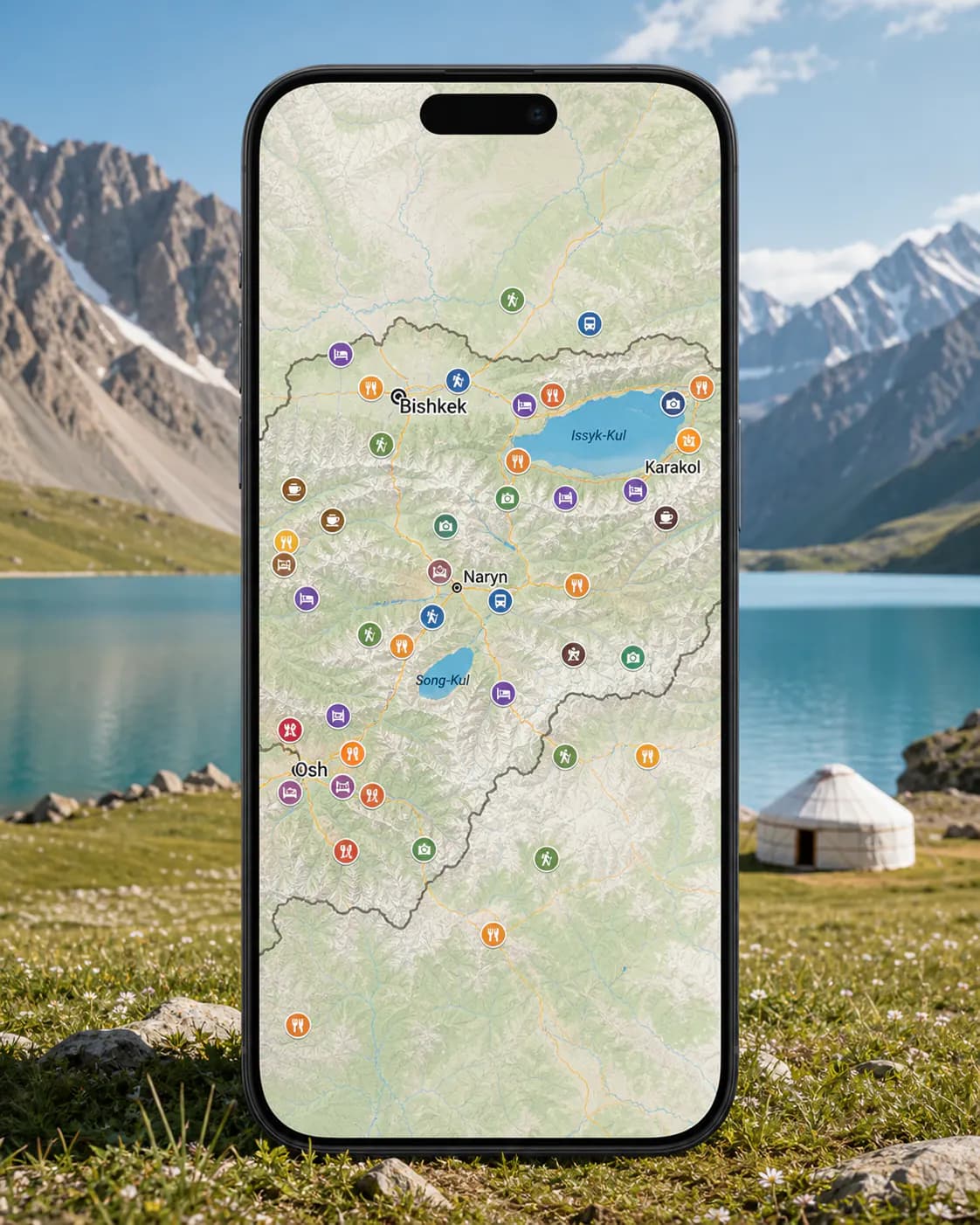
Read the itineraryPeakd Google Map · Kyrgyzstan · £25
Our restaurants, stays, trailheads, viewpoints and useful stops, saved in one Google Map and ready on your phone.
Practical information
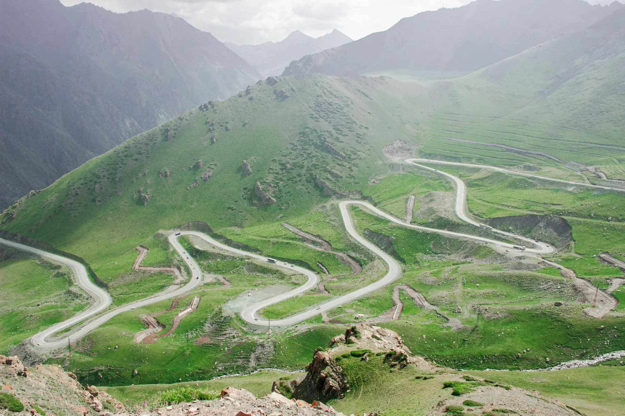
Kyrgyzstan · guide
Choose your Kyrgyzstan travel dates around altitude, road access and the type of trip you want.
Read the guide